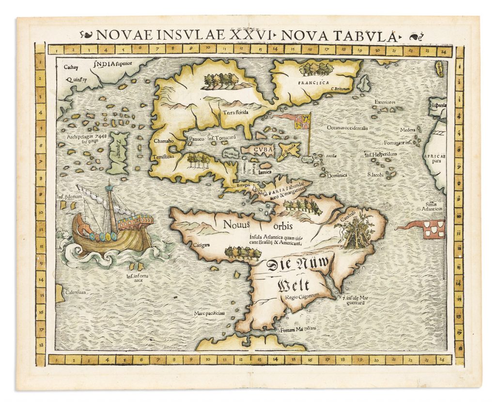
Lot 5: Sebastian Münster, Novae Insulae XXVI Nova Tabula, Basel, 1552. Estimate $2,500 to $3,500.
Our winter maps auction will offer a strong variety of material including collectible examples by stalwart publishers Ortelius, Blaeu, Hondius, Speed, and Munster. Plate books and graphics include works by Audubon, and a scarce volume of scenic lithographs of St. Petersburg, capital of Russia at the time.
Cartographic highlights are Egbert Viele’s Water Mapof New York City from 1865, describing Manhattan’s long-vanished original streams and wetlands; and an important wall map of the United States from 1818 by John Melish — the first accurately coalesced representation of the nation from coast to coast and a signifier to the potential for settlement in the western reaches of the continent.
Lot 16: John Melish, Map of the United States with the Contiguous British & Spanish Possessions, Philadelphia, 1818. Estimate $20,000 to $30,000.
At Auction December 8: left: Lot 13: John Speed, A New Description of Carolina, London, 1676. Estimate $2,500 to $3,500; right: Lot 44: Henricus Hondius, Nova Virginie Tabula, Amsterdam, 1633. Estimate $1,200 to $1,800.
Lot 24: Charles Varle, Wiliam Warner & Andrew Hanna, Plan of the City of Environs of Baltimore, Baltimore, 1801. Estimate $8,000 to $12,000.